
The confirmed destination list
Rockstar’s Only in Leonida tour names Vice City, Leonida Keys, Grassrivers, Port Gellhorn, Ambrosia and Mount Kalaga. This is a destination index, not a scale map. Sources checked 26 October 2026.
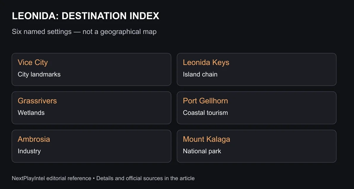
Six destinations: what distinguishes each one
The location descriptions below come from Rockstar’s official destination panels. They describe the setting; they are not measured map boundaries or a complete list of accessible interiors.
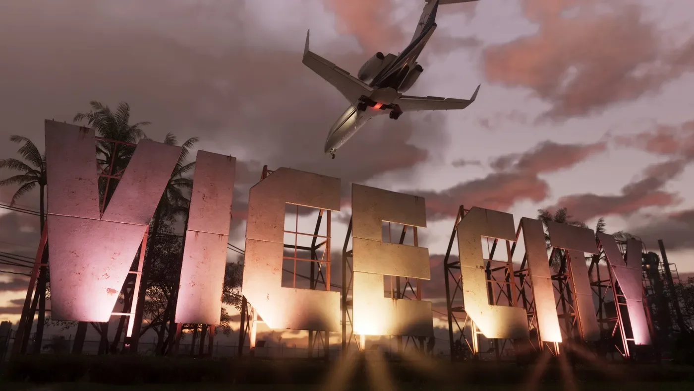
Vice City: Ocean Beach’s hotels and sand, Little Cuba’s bakeries, Tisha-Wocka flea market and VC Port give the city several distinct identities.
Leonida Keys: a tropical island chain, with an emphasis on waterfront life and dangerous surrounding waters.
Grassrivers: wetlands with mangroves and alligators.
Port Gellhorn: a declining coastal tourist destination with motels, closed attractions and empty shopping strips.
Ambrosia: an industrial community associated with the Allied Crystal sugar refinery and a local biker gang.
Mount Kalaga National Park: a northern-border park described through hunting, fishing and off-road trails.
Official views of Leonida
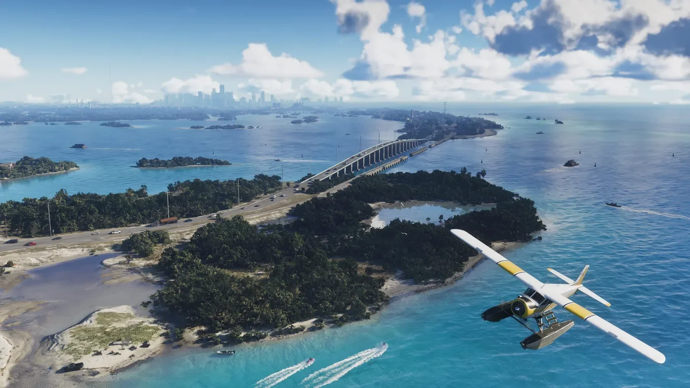
Leonida Keys. Image: © Rockstar Games; official promotional screenshot. View the publisher’s gallery
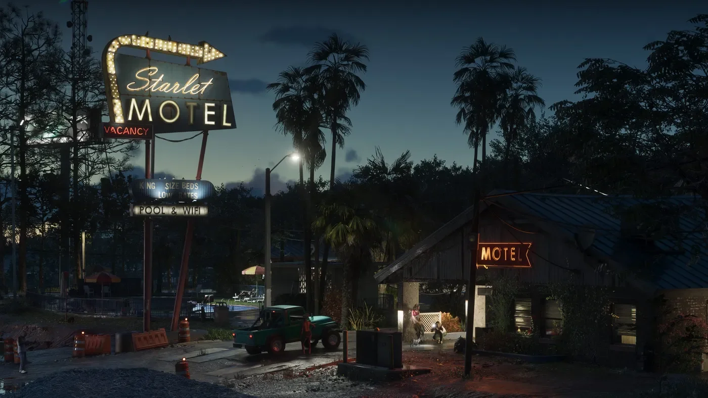
Port Gellhorn. Image: © Rockstar Games; official promotional screenshot. View the publisher’s gallery
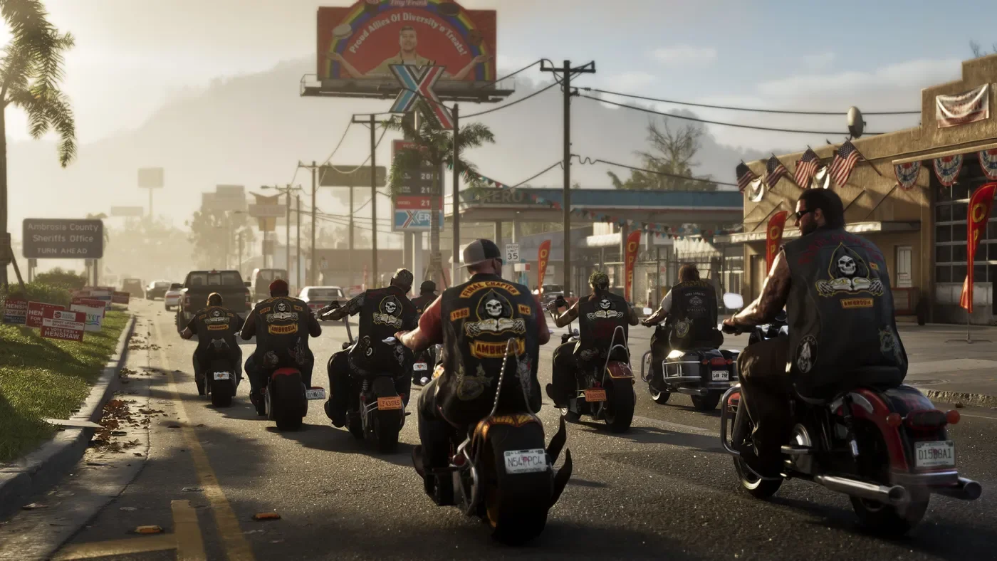
Ambrosia. Image: © Rockstar Games; official promotional screenshot. View the publisher’s gallery
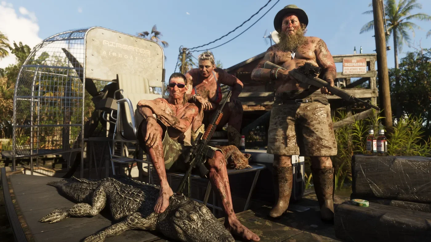
Grassrivers. Image: © Rockstar Games; official promotional screenshot. View the publisher’s gallery
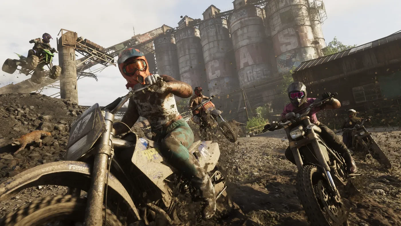
Mount Kalaga National Park. These publisher-selected scenes are visual references, not a map or proof of accessible routes. Image: © Rockstar Games; official promotional screenshot. View the publisher’s gallery
Vice City is not the whole of Leonida
Use the names at the correct level: Leonida is the wider setting, while Vice City is one destination within it. Ocean Beach and Little Cuba are names used within the city description. Mixing those levels produces misleading claims about the number of cities or regions.
The six promoted destinations should not be treated as six equal-sized areas. A national park, an island chain and a city are different kinds of place. Counting their names tells you nothing about their relative area, number of missions or travel time.
What you can—and cannot—plan from these descriptions
For sightseeing, the descriptions let you choose an interest: urban landmarks, coastal scenery, wetlands, industrial settings or backcountry. For route planning, they are insufficient. We cannot supply a fastest route between Ambrosia and Vice City, for example, without a verified road network and actual access conditions.
The park’s mention of hunting and fishing is a publisher description. It is not a verified list of equipment, species, rewards or minigame rules. Similarly, a visible waterfront does not establish that every vessel or building shown will be usable.
Map size, interiors and returning locations
This guide has no verified square-kilometre measurement or tested GTA V size ratio. We also have no complete interior list or collectible coordinates. A familiar place name is not proof that an older game’s street layout has been reproduced. Use the current game’s evidence when comparing locations, not memory of the 2002 Vice City map.
Related GTA VI coverage
GTA VI release, prices and platforms
GTA VI characters: Jason, Lucia and their connections
GTA VI Standard vs Ultimate and preorder bonuses
Sources & verification
Sources last verified on . This article covers published information, not hands-on testing.
Editorial & update notes
Added official Rockstar promotional imagery, descriptive alt text and linked publisher credits; retained the editorial reference diagram.